
Stanmore Hill topographic map
Interactive map
Click on the map to display elevation.
About this map
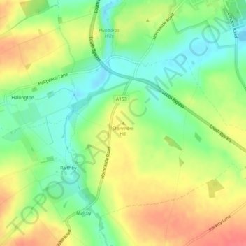
Name: Stanmore Hill topographic map, elevation, terrain.
Average elevation: 65 m
Minimum elevation: 36 m
Maximum elevation: 96 m
Other topographic maps
Click on a map to view its topography, its elevation and its terrain.
East Lindsey
United Kingdom > England > East Lindsey
East Lindsey, Lincolnshire, East Midlands, England, United Kingdom
Average elevation: 24 m