
Manoir topographic map
Interactive map
Click on the map to display elevation.
About this map
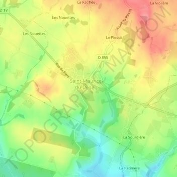
Name: Manoir topographic map, elevation, terrain.
Average elevation: 245 m
Minimum elevation: 201 m
Maximum elevation: 286 m
Other topographic maps
Click on a map to view its topography, its elevation and its terrain.
Les Monts-d'Andaine
França > Normandia > Les Monts-d'Andaine
Les Monts-d'Andaine, Argentan, Orne, Normandia, França metropolitana, França
Average elevation: 244 m