Geolocate

Aguas Verdes topographic map

Click on the map to display elevation.

About this map

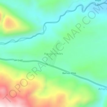
Name: Aguas Verdes topographic map, elevation, terrain.

Location: Aguas Verdes, Pardo Miguel, Rioja, San Martín, Perú (-5.70369 -77.65151 -5.66369 -77.61151)

Average elevation: 1,170 m

Minimum elevation: 939 m

Maximum elevation: 1,704 m

Gear up for your next adventure:

💡LED Camping Lantern - Illuminate your campsite with long-lasting lanterns
🧰Emergency Multi-Tool - Compact multi-tool for outdoor survival
🔥Camping Stove - Portable stoves to cook outdoors with ease
🥾Approach Shoes - Shoes designed for climbing approaches and rugged trails
🥾Hiking Gaiters - Protect legs and shoes from mud, snow, and debris

As an Amazon Associate, this site earns from qualifying purchases at no extra cost to you.