Geolocate

Stonehaven topographic map

Click on the map to display elevation.

About this map

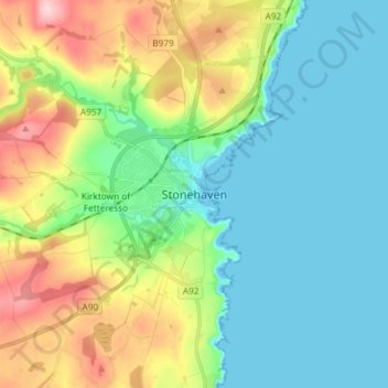
Name: Stonehaven topographic map, elevation, terrain.

Location: Stonehaven, Aberdeenshire, Scotland, AB39 2BY, United Kingdom (56.92402 -2.24880 57.00402 -2.16880)

Average elevation: 57 m

Minimum elevation: 0 m

Maximum elevation: 192 m

Gear up for your next adventure:

🥾Trail Running Shoes - Lightweight and durable shoes for trail running
🕶️Polarized Sunglasses - Reduces glare from snow and water at high elevations
🛏️Sleeping Bag - Warm and compact sleeping bags for outdoor camping
🧥Fleece Jacket - Warm and lightweight jacket for layering
🧴First Aid Kit - Essential first aid supplies for outdoor emergencies

As an Amazon Associate, this site earns from qualifying purchases at no extra cost to you.