Geolocate

Malpica topographic map

Click on the map to display elevation.

About this map

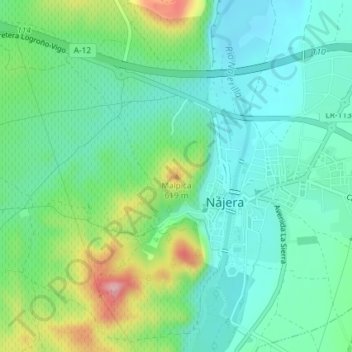
Name: Malpica topographic map, elevation, terrain.

Location: Malpica, Nájera, La Rioja, 26300, España (42.41857 -2.73878 42.41867 -2.73868)

Average elevation: 521 m

Minimum elevation: 470 m

Maximum elevation: 652 m

Gear up for your next adventure:

🥾Lightweight Hiking Shoes - Comfortable shoes for day hikes
👟Sport Hiking Sandals - Breathable footwear for water crossings and camp rest
🧰Multitool Knife - Compact and versatile tool for outdoor use
🔪Outdoor Multitool - Versatile tool for repairs and food prep in the wild
Bushcraft Tarp - Versatile emergency shelter or gear protection

As an Amazon Associate, this site earns from qualifying purchases at no extra cost to you.