Geolocate

Borigumma topographic map

Click on the map to display elevation.

About this map

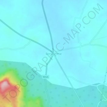
Name: Borigumma topographic map, elevation, terrain.

Location: Borigumma, Boriguma, Koraput District, Odisha, 764056, India (19.02845 82.53359 19.06845 82.57359)

Average elevation: 605 m

Minimum elevation: 575 m

Maximum elevation: 836 m

Gear up for your next adventure:

Tent Footprint - Protect tent floor and increase durability
🥾Mountaineering Boots - Supportive boots for climbing and high-altitude hiking
Lightweight Camping Tent - Portable shelter optimized for Canadian backcountry camping
🥾Waterproof Hiking Boots - Essential footwear for rugged terrain and wet Canadian trails
🧢Sun Hat - Wide-brim hat for sun protection

As an Amazon Associate, this site earns from qualifying purchases at no extra cost to you.