Geolocate

Tirohanga topographic map

Click on the map to display elevation.

About this map

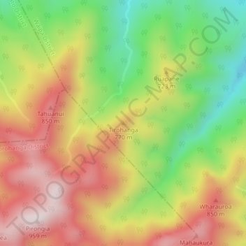
Name: Tirohanga topographic map, elevation, terrain.

Location: Tirohanga, Waipa District, Waikato, New Zealand (-37.98205 175.10984 -37.98195 175.10994)

Average elevation: 643 m

Minimum elevation: 351 m

Maximum elevation: 920 m

Other topographic maps

Click on a map to view its topography, its elevation and its terrain.

Lake Mangakaware

New Zealand > Waikato > Waipa District

Average elevation: 42 m

Lake Ngaroto

New Zealand > Waikato > Waipa District

Average elevation: 47 m

Gear up for your next adventure:

🧤Insulated Winter Gloves - Heavy-duty protection for sub-zero Canadian adventures
🛰️Satellite Messenger - Emergency communication for areas with no cell service
🥾Trail Running Boots - Durable shoes designed for trail running
🥾Light Hiking Boots - Lightweight and comfortable boots for day hikes
🧴First Aid Kit - Essential first aid supplies for outdoor emergencies

As an Amazon Associate, this site earns from qualifying purchases at no extra cost to you.