
Pulai topographic map
Click on the map to display elevation.
About this map
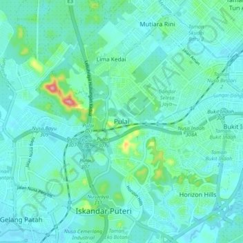
Name: Pulai topographic map, elevation, terrain.
Location: Pulai, Iskandar Puteri, Johor Bahru, Johor, 79100, Malaysia (1.44172 103.58042 1.52172 103.66042)
Average elevation: 25 m
Minimum elevation: 2 m
Maximum elevation: 154 m
Other topographic maps
Click on a map to view its topography, its elevation and its terrain.
Bandar Gelang Patah
Malaysia > Johor > Iskandar Puteri > Gelang Patah > Bandar Gelang Patah
Average elevation: 11 m