Geolocate

Briar topographic map

Click on the map to display elevation.

About this map

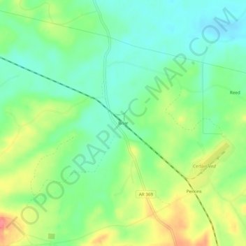
Name: Briar topographic map, elevation, terrain.

Location: Briar, Howard County, Arkansas, United States (34.06789 -93.89380 34.10789 -93.85380)

Average elevation: 152 m

Minimum elevation: 125 m

Maximum elevation: 195 m

Other topographic maps

Click on a map to view its topography, its elevation and its terrain.

Mineral Springs

United States > Arkansas > Howard County

Average elevation: 103 m

Dierks

United States > Arkansas > Howard County

Average elevation: 139 m

Gear up for your next adventure:

🧰Survival Kit - Essential gear for emergencies in the wilderness
🥾Hiking Leggings - Comfortable leggings for outdoor activities
Family Camping Tent - Spacious tent suitable for family camping trips
🥾Approach Boots - Comfortable boots for hiking and climbing approaches
🧥Ultralight Puffy Jacket - Maximum warmth that packs down to the size of an orange

As an Amazon Associate, this site earns from qualifying purchases at no extra cost to you.