
Winthrop topographic map
Interactive map
Click on the map to display elevation.
About this map
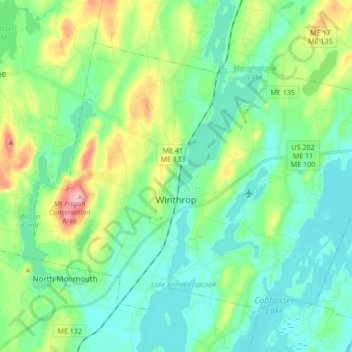
Name: Winthrop topographic map, elevation, terrain.
Location: Winthrop, Kennebec County, Maine, 04364, États-Unis (44.28042 -69.99680 44.34940 -69.93134)
Average elevation: 95 m
Minimum elevation: 48 m
Maximum elevation: 236 m