Geolocate

Gorriti topographic map

Click on the map to display elevation.

About this map

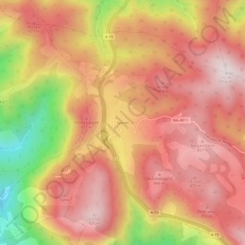
Name: Gorriti topographic map, elevation, terrain.

Location: Gorriti, Larraun, Larraun-Leitzaldea, Navarra, 31891, España (43.03080 -1.97303 43.07080 -1.93303)

Average elevation: 697 m

Minimum elevation: 239 m

Maximum elevation: 948 m

Gear up for your next adventure:

🧼Biodegradable Camp Soap - Environmentally friendly cleaning for gear and body
🧥Packable Rain Jacket - Breathable waterproof layer for unpredictable weather
🧥Thermal Fleece Jacket - Versatile insulation for changing mountain temperatures
🛶Kayak Accessories - Essential gear for safe and fun kayaking adventures
🔦LED Flashlight - Powerful and long-lasting flashlight for camping and emergencies

As an Amazon Associate, this site earns from qualifying purchases at no extra cost to you.