Geolocate

Haldon topographic map

Click on the map to display elevation.

About this map

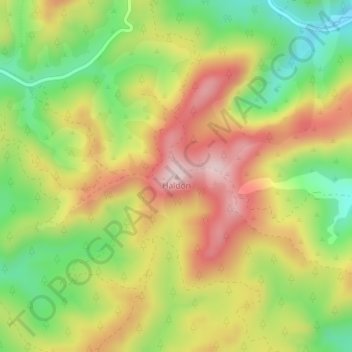
Name: Haldon topographic map, elevation, terrain.

Location: Haldon, Masterton, Wellington, New Zealand (-40.87230 176.15951 -40.87220 176.15961)

Average elevation: 208 m

Minimum elevation: 44 m

Maximum elevation: 375 m

Gear up for your next adventure:

🥾Waterproof Hiking Shoes - Durable shoes for wet and rugged trails
🥾Trail Hiking Socks - Comfortable socks to prevent blisters and fatigue
🛌Insulated Sleeping Pad - Critical thermal barrier between you and the cold ground
Lightweight Backpacking Tent - Compact tent for efficient hiking trips
🧥Packable Rain Jacket - Breathable waterproof layer for unpredictable weather

As an Amazon Associate, this site earns from qualifying purchases at no extra cost to you.