
Devil's Thumb topographic map
Interactive map
Click on the map to display elevation.
About this map
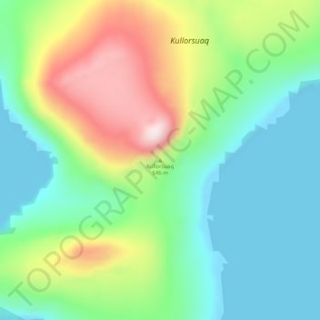
Name: Devil's Thumb topographic map, elevation, terrain.
Location: Devil's Thumb, Avannaata, Greenland (74.59356 -57.14116 74.59366 -57.14106)
Average elevation: 139 m
Minimum elevation: -1 m
Maximum elevation: 447 m
Other topographic maps
Click on a map to view its topography, its elevation and its terrain.
Jakobshavn Glacier
Jakobshavn Glacier, Avannaata, Greenland
Average elevation: 452 m