
Make a donation
Gear up for your next adventure:
As an Amazon Associate, this site earns from qualifying purchases at no extra cost to you.
Puerto de Pajares topographic map
Click on the map to display elevation.
Make a donation
Gear up for your next adventure:
As an Amazon Associate, this site earns from qualifying purchases at no extra cost to you.
Puerto de Pajares
Con una altitud de 1378 metros, es conocido por las nevadas que recibe en invierno, sus nieblas en las noches de verano, sus pendientes que llegan hasta el 17 % oficialmente y por la cercana estación de esquí, Valgrande-Pajares.
Make a donation
Gear up for your next adventure:
As an Amazon Associate, this site earns from qualifying purchases at no extra cost to you.
About this map
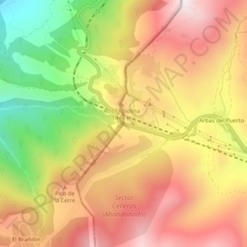
Name: Puerto de Pajares topographic map, elevation, terrain.
Average elevation: 1,361 m
Minimum elevation: 908 m
Maximum elevation: 1,713 m
Make a donation
Gear up for your next adventure:
As an Amazon Associate, this site earns from qualifying purchases at no extra cost to you.