
Söcking topographic map
Click on the map to display elevation.
Söcking
Söcking liegt auf einer Höhe von 695 m ü. NN auf den Endmoränen der Würmeiszeit am Starnberger See. Der Stadtteil befindet sich oberhalb und nordwestlich von Starnberg an einer Hanglage zwischen Maisinger Schlucht und Alersberg.
About this map
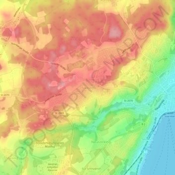
Name: Söcking topographic map, elevation, terrain.
Average elevation: 651 m
Minimum elevation: 583 m
Maximum elevation: 698 m