
La Pandera topographic map
Interactive map
Click on the map to display elevation.
About this map
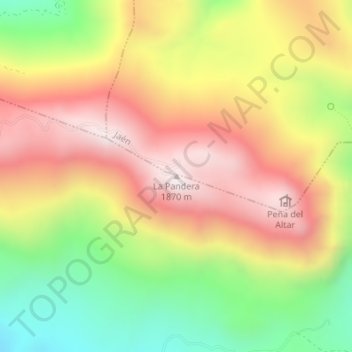
Name: La Pandera topographic map, elevation, terrain.
Location: La Pandera, Valdepeñas de Jaén, Jaén, Andalucía, España (37.63078 -3.77481 37.63088 -3.77471)
Average elevation: 1,468 m
Minimum elevation: 1,047 m
Maximum elevation: 1,844 m