
Veldwezelt topographic map
Interactive map
Click on the map to display elevation.
About this map
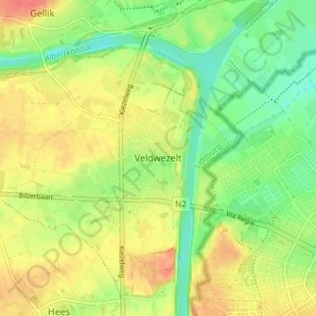
Name: Veldwezelt topographic map, elevation, terrain.
Location: Veldwezelt, Tongeren, Limburg, Vlaanderen, 3620, België (50.84560 5.61239 50.88560 5.65239)
Average elevation: 75 m
Minimum elevation: 50 m
Maximum elevation: 100 m