
Stampersgat topographic map
Interactive map
Click on the map to display elevation.
About this map
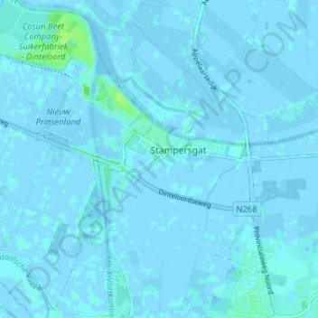
Name: Stampersgat topographic map, elevation, terrain.
Location: Stampersgat, Nordbrabant, Niederlande, 4754, Niederlande (51.59235 4.41906 51.63235 4.45906)
Average elevation: 1 m
Minimum elevation: -5 m
Maximum elevation: 11 m