Geolocate

Chaullagon topographic map

Click on the map to display elevation.

About this map

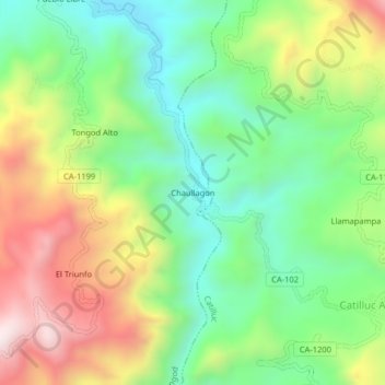
Name: Chaullagon topographic map, elevation, terrain.

Location: Chaullagon, Tongod, San Miguel, Cajamarca, Perú (-6.81001 -78.81744 -6.77001 -78.77744)

Average elevation: 2,880 m

Minimum elevation: 2,582 m

Maximum elevation: 3,338 m

Gear up for your next adventure:

🥾Lightweight Hiking Boots - Boots for comfort and mobility on long hikes
🚲Heavy Duty Bike Lock - Secure your bike at the trailhead or during stops
🧦Thermal Socks - Warm socks for winter hiking or camping
🔭Compact Binoculars - Lightweight optics for scouting trails and wildlife
🧼Travel Hand Sanitizer - Keep hands clean when water is scarce

As an Amazon Associate, this site earns from qualifying purchases at no extra cost to you.