
لیلاس topographic map
Interactive map
Click on the map to display elevation.
About this map
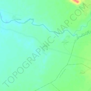
Name: لیلاس topographic map, elevation, terrain.
Location: لیلاس, دهستان سلگی, بخش خزل, شهرستان نهاوند, Iran (34.24877 48.16831 34.28877 48.20831)
Average elevation: 1,495 m
Minimum elevation: 1,481 m
Maximum elevation: 1,531 m