
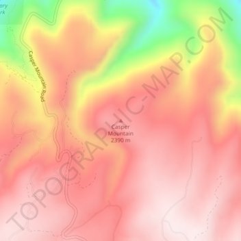
Casper Mountain topographic map
Click on the map to display elevation.
Casper Mountain
Casper Mountain, an anticline, is located at the north end of the Laramie Mountains overlooking Casper, Wyoming along the North Platte River. At a top elevation of 8,130 feet (2,478 m), the geological feature rises approximately 3,000 feet (914 m) above Casper.
About this map
Name: Casper Mountain topographic map, elevation, terrain.
Location: Casper Mountain, Natrona County, Wyoming, United States (42.75242 -106.31452 42.75252 -106.31442)
Average elevation: 2,315 m
Minimum elevation: 1,967 m
Maximum elevation: 2,465 m
Other topographic maps
Click on a map to view its topography, its elevation and its terrain.