
Tankwa Karoo National Park - Gate - No Entry topographic map
Interactive map
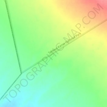
Click on the map to display elevation.
About this map
Name: Tankwa Karoo National Park - Gate - No Entry topographic map, elevation, terrain.
Average elevation: 491 m
Minimum elevation: 460 m
Maximum elevation: 532 m
Other topographic maps
Click on a map to view its topography, its elevation and its terrain.
Tankwa Karoo National Park - Gate - No Entry
South Africa > Northern Cape > Namakwa District Municipality > Karoo Hoogland Local Municipality
Tankwa Karoo National Park - Gate - No Entry, Karoo Hoogland Ward 4, Karoo Hoogland Local Municipality, Namakwa District Municipality, Northern Cape, South Africa
Average elevation: 492 m