Geolocate

Dysart topographic map

Click on the map to display elevation.

About this map

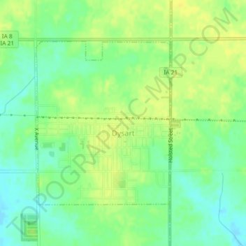
Name: Dysart topographic map, elevation, terrain.

Location: Dysart, Tama County, Iowa, United States (42.16304 -92.31919 42.18101 -92.29915)

Average elevation: 293 m

Minimum elevation: 281 m

Maximum elevation: 302 m

Gear up for your next adventure:

Bushcraft Tarp - Versatile emergency shelter or gear protection
🛌Insulated Sleeping Pad - Critical thermal barrier between you and the cold ground
💡Solar Camping Lamp - Eco-friendly lighting for campsites
🩹Moleskin Blister Pads - Direct protection for painful foot pressure points
🧳Compression Sacks - Maximize space in your backpack by shrinking gear

As an Amazon Associate, this site earns from qualifying purchases at no extra cost to you.