Geolocate

Tschengla topographic map

Click on the map to display elevation.

About this map
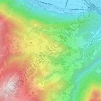
Name: Tschengla topographic map, elevation, terrain.

Location: Tschengla, Bürserberg, Bezirk Bludenz, Vorarlberg, 6707, Austria (47.13044 9.74591 47.17044 9.78591)

Average elevation: 1,026 m

Minimum elevation: 524 m

Maximum elevation: 1,801 m

Gear up for your next adventure:

🥾Hiking Gaiters - Protect legs and shoes from mud, snow, and debris
🏕️Camping Hammock - Integrated protection for sleeping between trees
🥾Approach Shoes - Shoes designed for climbing approaches and rugged trails
🚲Heavy Duty Bike Lock - Secure your bike at the trailhead or during stops
🪜Heavy Duty Carabiners - Multi-use clips for securing gear to your backpack

As an Amazon Associate, this site earns from qualifying purchases at no extra cost to you.