Geolocate

Kankot topographic map

Click on the map to display elevation.

About this map
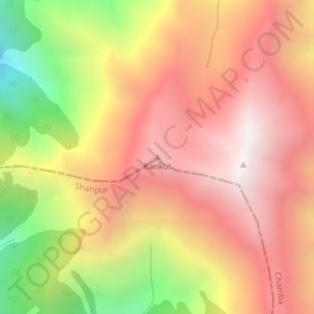
Name: Kankot topographic map, elevation, terrain.

Location: Kankot, Chamba, Himachal Pradesh, India (32.39615 76.24781 32.39625 76.24791)

Average elevation: 3,611 m

Minimum elevation: 2,762 m

Maximum elevation: 4,176 m

Gear up for your next adventure:

🥾Hiking Boots - Sturdy boots providing ankle support and traction on rugged trails
🧥Packable Rain Jacket - Breathable waterproof layer for unpredictable weather
🪑Insulated Seat Pad - Protect your seat from cold rocks and wet logs
🛌Down Sleeping Bag - Superior warmth-to-weight ratio for cold nights
🔦LED Headtorch - Bright and durable light for night activities

As an Amazon Associate, this site earns from qualifying purchases at no extra cost to you.