Geolocate

Licheng topographic map

Click on the map to display elevation.

About this map

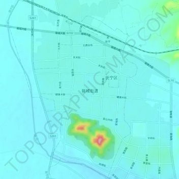
Name: Licheng topographic map, elevation, terrain.

Location: Licheng, Funing District, Qinhuangdao City, Hebei, China (39.85893 119.21198 39.90161 119.25234)

Average elevation: 25 m

Minimum elevation: 9 m

Maximum elevation: 156 m

Gear up for your next adventure:

🥤Collapsible Travel Cup - Saves space and weight in your mess kit
🔋Lithium AA Batteries - Long-lasting power that performs in extreme cold
🧥Softshell Hiking Jacket - The perfect balance of wind protection and breathability
Camping Coffee Maker - Brew fresh coffee anywhere on the topographic map
🥾Trail Hiking Shoes - Durable shoes designed for rugged trails

As an Amazon Associate, this site earns from qualifying purchases at no extra cost to you.