Geolocate

Nancheng topographic map

Click on the map to display elevation.

About this map

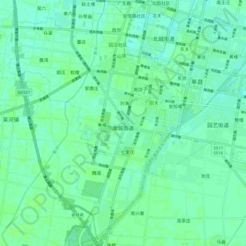
Name: Nancheng topographic map, elevation, terrain.

Location: Nancheng, Shan County, Heze City, Shandong, 274300, China (34.72501 116.02375 34.80782 116.09607)

Average elevation: 45 m

Minimum elevation: 41 m

Maximum elevation: 49 m

Gear up for your next adventure:

🔦LED Headtorch - Bright and durable light for night activities
🔥Emergency Fire Starter - Reliable ignition source for all weather conditions
🛌Insulated Sleeping Pad - Critical thermal barrier between you and the cold ground
Backpacking Tent - Lightweight tent for long-distance hiking trips
🧤Insulated Winter Gloves - Heavy-duty protection for sub-zero Canadian adventures

As an Amazon Associate, this site earns from qualifying purchases at no extra cost to you.