
临猗县 topographic map
Interactive map
Click on the map to display elevation.
About this map
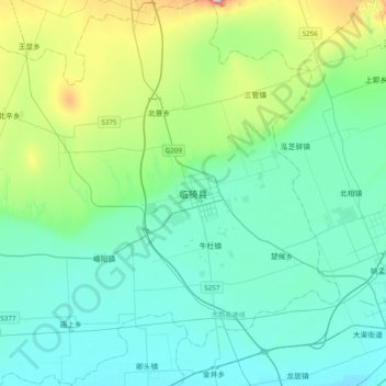
Name: 临猗县 topographic map, elevation, terrain.
Location: 临猗县, 运城市, 山西省, 中国 (34.98335 110.60906 35.30335 110.92906)
Average elevation: 455 m
Minimum elevation: 346 m
Maximum elevation: 946 m
Other topographic maps
Click on a map to view its topography, its elevation and its terrain.