Geolocate

Damascus topographic map

Click on the map to display elevation.

About this map
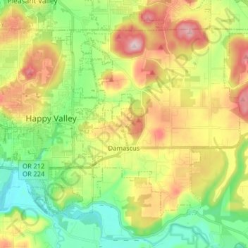
Name: Damascus topographic map, elevation, terrain.

Location: Damascus, Clackamas County, Oregon, 97089, United States (45.38259 -122.50770 45.46158 -122.39816)

Average elevation: 160 m

Minimum elevation: 28 m

Maximum elevation: 343 m

Gear up for your next adventure:

🪑Insulated Seat Pad - Protect your seat from cold rocks and wet logs
🗺️Topographic Maps - Detailed maps to explore trails, mountains, and wilderness areas
🛌Down Sleeping Bag - Superior warmth-to-weight ratio for cold nights
🛏️Camping Sleeping Mat - Comfortable mats for sleeping outdoors
🔨Vehicle Emergency Tool - Safety tool for remote road trips to trailheads

As an Amazon Associate, this site earns from qualifying purchases at no extra cost to you.