Geolocate

Wren Lake topographic map

Click on the map to display elevation.

About this map

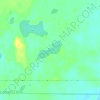
Name: Wren Lake topographic map, elevation, terrain.

Location: Wren Lake, Cass County, Minnesota, United States (46.87042 -93.90362 46.87561 -93.89366)

Average elevation: 418 m

Minimum elevation: 410 m

Maximum elevation: 431 m

Other topographic maps

Click on a map to view its topography, its elevation and its terrain.

East Gull Lake

United States > Minnesota > Cass County

Average elevation: 370 m

Gear up for your next adventure:

🧢Hiking Hat - Sun-protective and breathable hats for long treks
🧦Merino Wool Socks - Moisture-wicking comfort for long-distance hiking
💧Filtered Water Bottle - Safe drinking water on the go
🎒Hiking Backpack - Lightweight and ergonomic backpacks for day hikes or multi-day treks
❄️Traction Ice Cleats - Slip-on spikes for icy trails and winter hiking

As an Amazon Associate, this site earns from qualifying purchases at no extra cost to you.