
Fochteloërveen topographic map
Interactive map
Click on the map to display elevation.
About this map
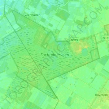
Name: Fochteloërveen topographic map, elevation, terrain.
Average elevation: 11 m
Minimum elevation: 4 m
Maximum elevation: 20 m
Topografische kaart van het Fochteloërveen, december 2015 (Klik voor vergroting)