
会同古村 topographic map
Interactive map
Click on the map to display elevation.
About this map
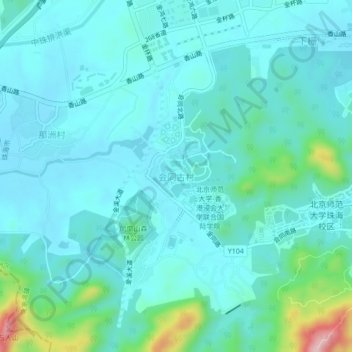
Name: 会同古村 topographic map, elevation, terrain.
Location: 会同古村, 珠海市, 广东省, 519087, 中国 (22.33626 113.49171 22.37626 113.53171)
Average elevation: 38 m
Minimum elevation: 0 m
Maximum elevation: 241 m
Other topographic maps
Click on a map to view its topography, its elevation and its terrain.