
Wichelen topographic map
Interactive map
Click on the map to display elevation.
About this map
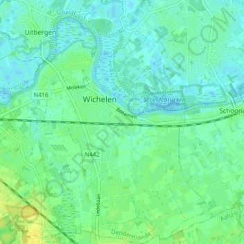
Name: Wichelen topographic map, elevation, terrain.
Location: Wichelen, Termonde, Flandre orientale, Flandre, 9360, Belgique (50.98026 3.95630 51.02379 4.00634)
Average elevation: 7 m
Minimum elevation: -4 m
Maximum elevation: 20 m