Geolocate

Janchan Pampa topographic map

Click on the map to display elevation.

About this map

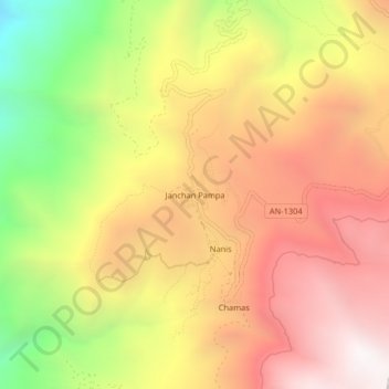
Name: Janchan Pampa topographic map, elevation, terrain.

Location: Janchan Pampa, Mangas, Bolognesi, Áncash, Perú (-10.39310 -77.15118 -10.35310 -77.11118)

Average elevation: 3,124 m

Minimum elevation: 2,086 m

Maximum elevation: 3,910 m

Gear up for your next adventure:

🧥Waterproof Pants - Keep dry during rainy hiking conditions
🧥Waterproof Hiking Jacket - Protect yourself from rain and wind while hiking
🥾Lightweight Hiking Shoes - Comfortable shoes for day hikes
🔦LED Headlamp - Hands-free lighting for early morning starts or late finishes
🥾Trekking Poles - Adjustable trekking poles to reduce knee stress and improve stability

As an Amazon Associate, this site earns from qualifying purchases at no extra cost to you.