
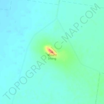
Mount Irving topographic map
Interactive map
Click on the map to display elevation.
About this map
Name: Mount Irving topographic map, elevation, terrain.
Location: Mount Irving, Toowoomba, Queensland, Australia (-27.51033 151.59051 -27.51023 151.59061)
Average elevation: 402 m
Minimum elevation: 392 m
Maximum elevation: 449 m
Other topographic maps
Click on a map to view its topography, its elevation and its terrain.
Toowoomba
Australia > Queensland > Toowoomba
Toowoomba, Toowoomba Regional, Queensland, 4350, Australia
Average elevation: 458 m