
Viville topographic map
Interactive map
Click on the map to display elevation.
About this map
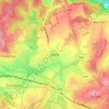
Name: Viville topographic map, elevation, terrain.
Location: Viville, Aarlen, Luxemburg, Wallonië, 6700, België (49.67882 5.77338 49.71882 5.81338)
Average elevation: 385 m
Minimum elevation: 311 m
Maximum elevation: 432 m
Other topographic maps
Click on a map to view its topography, its elevation and its terrain.