
Flariz topographic map
Click on the map to display elevation.
About this map
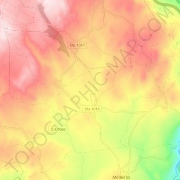
Name: Flariz topographic map, elevation, terrain.
Location: Flariz, Monterrei, Verín, Orense, Galicia, 32618, España (41.91251 -7.59929 41.95672 -7.51441)
Average elevation: 705 m
Minimum elevation: 402 m
Maximum elevation: 905 m
Other topographic maps
Click on a map to view its topography, its elevation and its terrain.