
Thank you for supporting this site ❤️
Make a donation
Make a donation
Gear up for your next adventure:
As an Amazon Associate, this site earns from qualifying purchases at no extra cost to you.
Mahmutlar topographic map
Click on the map to display elevation.
Thank you for supporting this site ❤️
Make a donation
Make a donation
Gear up for your next adventure:
As an Amazon Associate, this site earns from qualifying purchases at no extra cost to you.
About this map
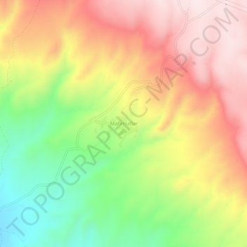
Name: Mahmutlar topographic map, elevation, terrain.
Location: Mahmutlar, Beypazarı, Анкара, Центральная Анатолия, Турция (39.87098 31.87903 39.91098 31.91903)
Average elevation: 844 m
Minimum elevation: 599 m
Maximum elevation: 1,064 m
Thank you for supporting this site ❤️
Make a donation
Make a donation
Gear up for your next adventure:
As an Amazon Associate, this site earns from qualifying purchases at no extra cost to you.