Geolocate

Malitubog topographic map

Click on the map to display elevation.

About this map

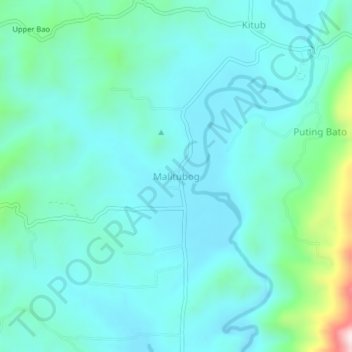
Name: Malitubog topographic map, elevation, terrain.

Location: Malitubog, North Cotabato, Soccsksargen, 9413, Philippines (7.33614 124.61632 7.37614 124.65632)

Average elevation: 175 m

Minimum elevation: 81 m

Maximum elevation: 647 m

Gear up for your next adventure:

👟Trail Running Shoes - Agile footwear for fast-paced topographic exploration
🔥Camping Stove - Portable stoves to cook outdoors with ease
🥾Mountain Hiking Shoes - Shoes with superior grip for mountainous terrain
🕶️Polarized Sunglasses - Protect your eyes with durable polarized lenses
🧭GPS Outdoor Watch - Smart watch for navigation and fitness tracking in nature

As an Amazon Associate, this site earns from qualifying purchases at no extra cost to you.