Geolocate

Nagalgidda topographic map

Click on the map to display elevation.

About this map
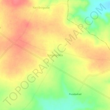
Name: Nagalgidda topographic map, elevation, terrain.

Location: Nagalgidda, Nagalgidda mandal, Sangareddy, Telangana, India (18.01395 77.66104 18.05395 77.70104)

Average elevation: 565 m

Minimum elevation: 526 m

Maximum elevation: 590 m

Gear up for your next adventure:

🛏️Camping Sleeping Mat - Comfortable mats for sleeping outdoors
🥾Mountain Trail Shoes - High-traction shoes for mountain trails
🧦Hiking Socks - Moisture-wicking and comfortable socks for long hikes
🛶Kayak Dry Bag - Waterproof storage for kayaking adventures
🧥Insulated Jacket - Keep warm in cold outdoor conditions

As an Amazon Associate, this site earns from qualifying purchases at no extra cost to you.