Geolocate

Fort Blackmore topographic map

Click on the map to display elevation.

About this map

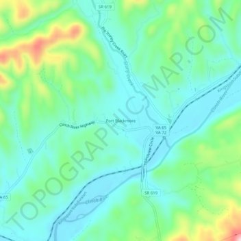
Name: Fort Blackmore topographic map, elevation, terrain.

Location: Fort Blackmore, Scott County, Virginia, 24250, United States (36.75454 -82.60682 36.79454 -82.56682)

Average elevation: 442 m

Minimum elevation: 374 m

Maximum elevation: 644 m

Other topographic maps

Click on a map to view its topography, its elevation and its terrain.

Nickelsville

United States > Virginia > Scott County

Average elevation: 588 m

Gate City

United States > Virginia > Scott County

Average elevation: 488 m

Duffield

United States > Virginia > Scott County

Average elevation: 457 m

Duffield

United States > Virginia > Scott County

Average elevation: 457 m

Gear up for your next adventure:

🧥Waterproof Jacket - Lightweight rain jackets for hiking and outdoor activities
👖Convertible Hiking Pants - Zip-off legs to adapt to changing weather conditions
🧴Bear Spray Holster - Quick-access carry for essential Canadian wilderness safety
❄️Traction Ice Cleats - Slip-on spikes for icy trails and winter hiking
🧊Portable Cooler - Keep food and drinks cold during outdoor adventures

As an Amazon Associate, this site earns from qualifying purchases at no extra cost to you.