Geolocate

Talking Rock topographic map

Click on the map to display elevation.

About this map

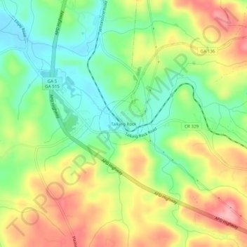
Name: Talking Rock topographic map, elevation, terrain.

Location: Talking Rock, Pickens County, Georgia, 30175, United States (34.48926 -84.52493 34.52926 -84.48493)

Average elevation: 380 m

Minimum elevation: 316 m

Maximum elevation: 459 m

Gear up for your next adventure:

🥾Waterproof Hiking Boots - Boots keeping your feet dry in wet conditions
🔭Compact Monocular - One-handed bird watching and trail spotting
Lightweight Camping Tent - Portable shelter optimized for Canadian backcountry camping
📷Outdoor Action Camera - Capture high-elevation views and rugged adventures
🔪Outdoor Multitool - Versatile tool for repairs and food prep in the wild

As an Amazon Associate, this site earns from qualifying purchases at no extra cost to you.