
Jesús María topographic map
Interactive map
Click on the map to display elevation.
About this map
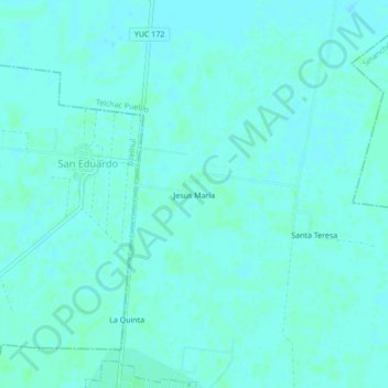
Name: Jesús María topographic map, elevation, terrain.
Location: Jesús María, Telchac Pueblo, Yucatán, Mexique (21.20973 -89.28357 21.24973 -89.24357)
Average elevation: 6 m
Minimum elevation: 4 m
Maximum elevation: 9 m