Geolocate

Banyan topographic map

Click on the map to display elevation.

About this map

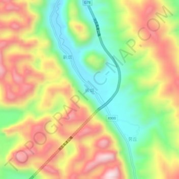
Name: Banyan topographic map, elevation, terrain.

Location: Banyan, Donglan County, Hechi, Guangxi, China (24.39764 107.32741 24.43764 107.36741)

Average elevation: 587 m

Minimum elevation: 316 m

Maximum elevation: 884 m

Gear up for your next adventure:

🧭GPS Tracker - Track your location in remote areas safely
🧥Softshell Hiking Jacket - The perfect balance of wind protection and breathability
🧥Thermal Layer - Insulating layer for cold outdoor conditions
🌡️Emergency Mylar Blankets - Compact thermal protection for unexpected nights outdoors
🔦LED Headlamp - Hands-free lighting for early morning starts or late finishes

As an Amazon Associate, this site earns from qualifying purchases at no extra cost to you.