
El Condor topographic map
Click on the map to display elevation.
About this map
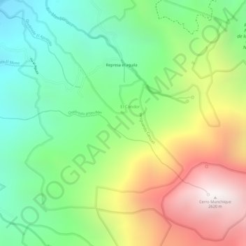
Name: El Condor topographic map, elevation, terrain.
Location: El Condor, Norte, Cauca, Colombia (2.92014 -76.46012 2.94045 -76.43857)
Average elevation: 1,950 m
Minimum elevation: 1,471 m
Maximum elevation: 2,610 m