Geolocate

Sector 13 topographic map

Click on the map to display elevation.

About this map

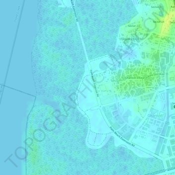
Name: Sector 13 topographic map, elevation, terrain.

Location: Sector 13, Ghansoli, Navi Mumbai, Thane, Maharashtra, India (19.11970 72.98661 19.12758 72.99059)

Average elevation: 3 m

Minimum elevation: -3 m

Maximum elevation: 18 m

Gear up for your next adventure:

🧦Hiking Liner Socks - Thin base layer to prevent friction and blisters
Camping Coffee Maker - Brew fresh coffee anywhere on the topographic map
🥾Trail Hiking Socks - Comfortable socks to prevent blisters and fatigue
🧦Thermal Socks - Warm socks for winter hiking or camping
🧤Insulated Winter Gloves - Heavy-duty protection for sub-zero Canadian adventures

As an Amazon Associate, this site earns from qualifying purchases at no extra cost to you.