
Kusur topographic map
Interactive map
Click on the map to display elevation.
About this map
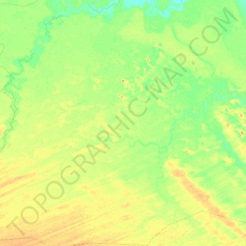
Name: Kusur topographic map, elevation, terrain.
Location: Kusur, Geidam, Yobe, Nigeria (12.37083 11.86893 12.83956 12.28324)
Average elevation: 333 m
Minimum elevation: 318 m
Maximum elevation: 350 m