Geolocate

Sidney topographic map

Click on the map to display elevation.

About this map

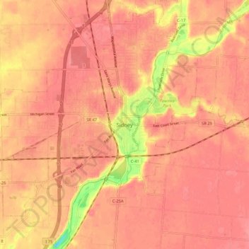
Name: Sidney topographic map, elevation, terrain.

Location: Sidney, Shelby County, Ohio, 45365, United States (40.24424 -84.19553 40.32424 -84.11553)

Average elevation: 312 m

Minimum elevation: 255 m

Maximum elevation: 327 m

Gear up for your next adventure:

🛶Canoe Life Vest - Safety vest for water sports
Bushcraft Tarp - Versatile emergency shelter or gear protection
🥾Waterproof Hiking Boots - Essential footwear for rugged terrain and wet Canadian trails
🧢Sun Hat - Wide-brim hat for sun protection
🥾Waterproof Trail Shoes - Shoes designed to handle wet terrain

As an Amazon Associate, this site earns from qualifying purchases at no extra cost to you.