Geolocate

Roosbeek topographic map

Click on the map to display elevation.

About this map

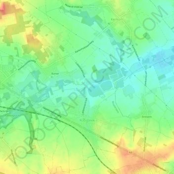
Name: Roosbeek topographic map, elevation, terrain.

Location: Roosbeek, Boutersem, Leuven, Flemish Brabant, Flanders, Belgium (50.82176 4.83947 50.85877 4.87916)

Average elevation: 63 m

Minimum elevation: 42 m

Maximum elevation: 94 m

Other topographic maps

Click on a map to view its topography, its elevation and its terrain.

Butsel

Belgium > Flemish Brabant > Leuven > Boutersem

Average elevation: 66 m

Gear up for your next adventure:

🪑Ultralight Camping Stool - Compact seating for rest stops during long hikes
🔭Compact Monocular - One-handed bird watching and trail spotting
🛏️Camping Sleeping Mat - Comfortable mats for sleeping outdoors
🧥Thermal Fleece Jacket - Versatile insulation for changing mountain temperatures
📷Outdoor Action Camera - Capture high-elevation views and rugged adventures

As an Amazon Associate, this site earns from qualifying purchases at no extra cost to you.