Geolocate

Emden topographic map

Click on the map to display elevation.

About this map

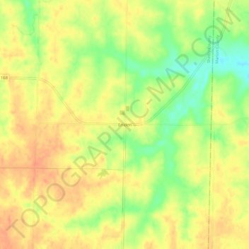
Name: Emden topographic map, elevation, terrain.

Location: Emden, Shelby County, Missouri, 63439, United States (39.77643 -91.88294 39.81643 -91.84294)

Average elevation: 222 m

Minimum elevation: 195 m

Maximum elevation: 238 m

Other topographic maps

Click on a map to view its topography, its elevation and its terrain.

Clarence

United States > Missouri > Shelby County

Average elevation: 249 m

Gear up for your next adventure:

🍽️Titanium Camping Spork - Ultralight and indestructible eating utensil
🕶️Polarized Sunglasses - Reduces glare from snow and water at high elevations
🥾Approach Boots - Comfortable boots for hiking and climbing approaches
🦶Anti-Blister Balm - Prevents friction and hotspots during long ascents
🦶Hiking Shoe Insoles - Added support for high arches and long days on feet

As an Amazon Associate, this site earns from qualifying purchases at no extra cost to you.